
Jemah topographic map
Interactive map
Click on the map to display elevation.
About this map
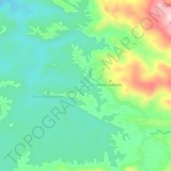
Name: Jemah topographic map, elevation, terrain.
Location: Jemah, West Java, Indonesia (-6.90618 108.09754 -6.86618 108.13754)
Average elevation: 273 m
Minimum elevation: 178 m
Maximum elevation: 496 m