
Atwell topographic map
Interactive map
Click on the map to display elevation.
About this map
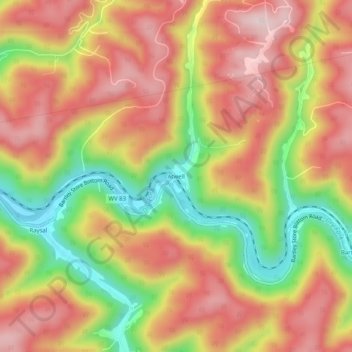
Name: Atwell topographic map, elevation, terrain.
Location: Atwell, McDowell County, West Virginia, 24879, USA (37.32928 -81.78261 37.36928 -81.74261)
Average elevation: 559 m
Minimum elevation: 354 m
Maximum elevation: 712 m