
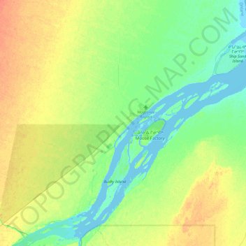
Moosonee topographic map
Interactive map
Click on the map to display elevation.
About this map
Name: Moosonee topographic map, elevation, terrain.
Average elevation: 13 m
Minimum elevation: -5 m
Maximum elevation: 31 m
Other topographic maps
Click on a map to view its topography, its elevation and its terrain.
Lac Abitibi
Canada > Ontario > Cochrane District
Lac Abitibi, Cochrane District, Northeastern Ontario, Ontario, Canada
Average elevation: 291 m
Timmins
Canada > Ontario > Cochrane District
Timmins, Cochrane District, Northeastern Ontario, Ontario, Canada
Average elevation: 302 m
Schumacher
Canada > Ontario > Cochrane District > Timmins > Schumacher
Schumacher, Timmins, Cochrane District, Northeastern Ontario, Ontario, P0N 1G0, Canada
Average elevation: 306 m
Kapuskasing
Canada > Ontario > Cochrane District
Kapuskasing, Cochrane District, Northeastern Ontario, Ontario, Canada
Average elevation: 227 m