
Kverkfjöll topographic map
Interactive map
Click on the map to display elevation.
About this map
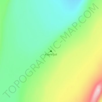
Name: Kverkfjöll topographic map, elevation, terrain.
Location: Kverkfjöll, Iceland (64.65297 -16.65117 64.65307 -16.65107)
Average elevation: 1,701 m
Minimum elevation: 1,604 m
Maximum elevation: 1,910 m
Other topographic maps
Click on a map to view its topography, its elevation and its terrain.
Kollur
Iceland > Fjarðabyggð > Reyðarfjörður
Kollur, Reyðarfjörður, Fjarðabyggð, Eastern Region, 730, Iceland
Average elevation: 446 m
Herðubreið
Herðubreið, Skútustaðahreppur, Northeastern Region, Iceland
Average elevation: 1,182 m
Tindfjallajökull
Tindfjallajökull, Hungurfitaskáli, Rangárþing ytra, Southern Region, Iceland
Average elevation: 1,059 m