
Panchagarh District topographic map
Interactive map
Click on the map to display elevation.
About this map
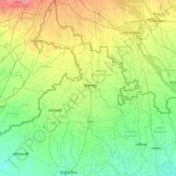
Name: Panchagarh District topographic map, elevation, terrain.
Location: Panchagarh District, Rangpur Division, Bangladesh (26.00615 88.31994 26.63825 88.79664)
Average elevation: 71 m
Minimum elevation: 46 m
Maximum elevation: 134 m