
Constantina topographic map
Interactive map
Click on the map to display elevation.
About this map
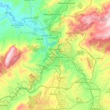
Name: Constantina topographic map, elevation, terrain.
Location: Constantina, Daïra Constantine, Constantina, Argelia (36.25893 6.52845 36.44909 6.76655)
Average elevation: 656 m
Minimum elevation: 293 m
Maximum elevation: 1,204 m