
Thanlyin topographic map
Interactive map
Click on the map to display elevation.
About this map
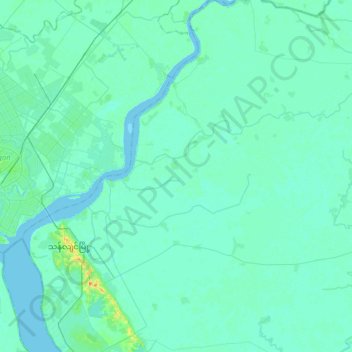
Name: Thanlyin topographic map, elevation, terrain.
Location: Thanlyin, Yangon South, Yangon, 11291, Myanmar (16.67081 96.20844 16.97831 96.43474)
Average elevation: 5 m
Minimum elevation: -2 m
Maximum elevation: 42 m
Other topographic maps
Click on a map to view its topography, its elevation and its terrain.