
Kolnes topographic map
Interactive map
Click on the map to display elevation.
About this map
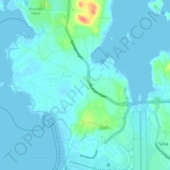
Name: Kolnes topographic map, elevation, terrain.
Location: Kolnes, Sola, Rogaland, 4055, Norway (58.87979 5.59209 58.91979 5.63209)
Average elevation: 6 m
Minimum elevation: -1 m
Maximum elevation: 55 m