
Llera topographic map
Interactive map
Click on the map to display elevation.
About this map
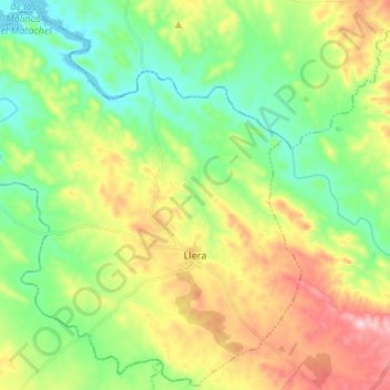
Name: Llera topographic map, elevation, terrain.
Location: Llera, Badajoz, Estrémadure, Espagne (38.41194 -6.15343 38.51450 -6.02021)
Average elevation: 438 m
Minimum elevation: 345 m
Maximum elevation: 596 m