
Betong Island topographic map
Interactive map
Click on the map to display elevation.
About this map
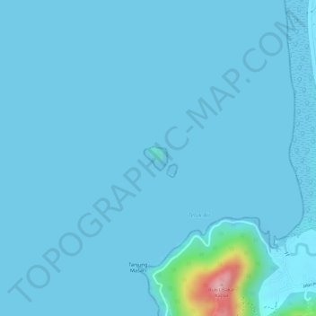
Name: Betong Island topographic map, elevation, terrain.
Average elevation: 8 m
Minimum elevation: 0 m
Maximum elevation: 181 m
Other topographic maps
Click on a map to view its topography, its elevation and its terrain.
Pulau Betong
Malaysia > Penang > Pulau Betong
Pulau Betong, Barat Daya, Penang, 11020, Malaysia
Average elevation: 73 m