
Champawat topographic map
Interactive map
Click on the map to display elevation.
About this map
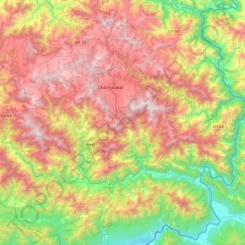
Name: Champawat topographic map, elevation, terrain.
Location: Champawat, Uttarakhand, 262523, India (29.19509 79.91159 29.37612 80.31859)
Average elevation: 1,161 m
Minimum elevation: 260 m
Maximum elevation: 2,174 m
Other topographic maps
Click on a map to view its topography, its elevation and its terrain.
Bordoli
India > Uttarakhand > Champawat
Bordoli, Champawat, Uttarakhand, 262524, India
Average elevation: 1,579 m