
Balmorhea topographic map
Interactive map
Click on the map to display elevation.
About this map
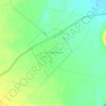
Name: Balmorhea topographic map, elevation, terrain.
Location: Balmorhea, Reeves County, Texas, United States (30.97706 -103.75025 30.98942 -103.73684)
Average elevation: 974 m
Minimum elevation: 961 m
Maximum elevation: 991 m
Other topographic maps
Click on a map to view its topography, its elevation and its terrain.
Pecos
United States > Texas > Reeves County
Pecos, Reeves County, Texas, United States
Average elevation: 790 m