
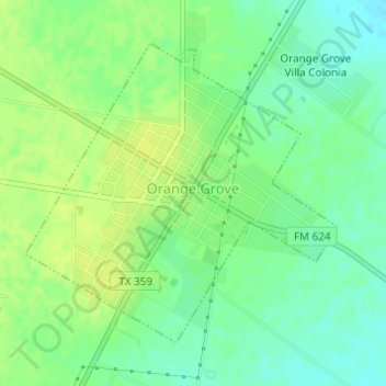
Orange Grove topographic map
Interactive map
Click on the map to display elevation.
About this map
Name: Orange Grove topographic map, elevation, terrain.
Location: Orange Grove, Jim Wells County, Texas, United States (27.94588 -97.95018 27.96682 -97.92555)
Average elevation: 58 m
Minimum elevation: 49 m
Maximum elevation: 65 m
Other topographic maps
Click on a map to view its topography, its elevation and its terrain.
Premont
United States > Texas > Jim Wells County
Premont, Jim Wells County, Texas, United States
Average elevation: 49 m