
Vinkenbuurt topographic map
Interactive map
Click on the map to display elevation.
About this map
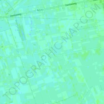
Name: Vinkenbuurt topographic map, elevation, terrain.
Location: Vinkenbuurt, Overijssel, Niederlande, 7739, Niederlande (52.55914 6.33222 52.59914 6.37222)
Average elevation: 4 m
Minimum elevation: 1 m
Maximum elevation: 8 m