
Ways topographic map
Interactive map
Click on the map to display elevation.
About this map
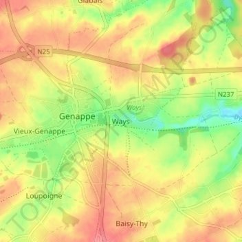
Name: Ways topographic map, elevation, terrain.
Location: Ways, Brabant wallon, Wallonie, 1474, Belgique (50.59002 4.44246 50.63002 4.48246)
Average elevation: 120 m
Minimum elevation: 80 m
Maximum elevation: 150 m