
Zaltbommel topographic map
Interactive map
Click on the map to display elevation.
About this map
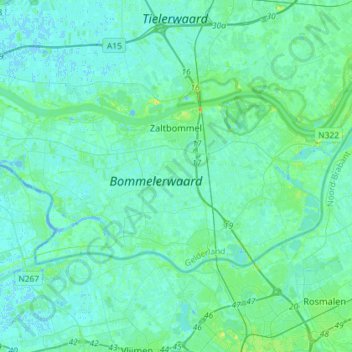
Name: Zaltbommel topographic map, elevation, terrain.
Location: Zaltbommel, Geldern, Niederlande (51.73761 5.00036 51.82685 5.28844)
Average elevation: 3 m
Minimum elevation: -4 m
Maximum elevation: 18 m