
Bayfield topographic map
Interactive map
Click on the map to display elevation.
About this map
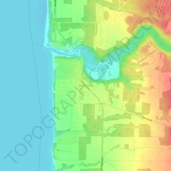
Name: Bayfield topographic map, elevation, terrain.
Location: Bayfield, Huron County, Ontario, N0M 1G0, Canada (43.54100 -81.71590 43.58100 -81.67590)
Average elevation: 199 m
Minimum elevation: 173 m
Maximum elevation: 240 m