
Ahobilam topographic map
Interactive map
Click on the map to display elevation.
About this map
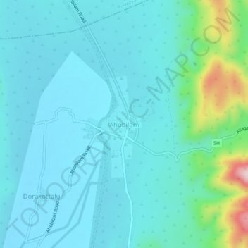
Name: Ahobilam topographic map, elevation, terrain.
Location: Ahobilam, Allagadda, Kurnool, Andhra Pradesh, 518545, India (15.11375 78.65488 15.15375 78.69488)
Average elevation: 269 m
Minimum elevation: 219 m
Maximum elevation: 549 m