
Rangapuram topographic map
Interactive map
Click on the map to display elevation.
About this map
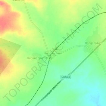
Name: Rangapuram topographic map, elevation, terrain.
Location: Rangapuram, Bethamcherla, Kurnool, Andhra Pradesh, India (15.38567 78.03882 15.42567 78.07882)
Average elevation: 439 m
Minimum elevation: 411 m
Maximum elevation: 474 m