
Taber topographic map
Interactive map
Click on the map to display elevation.
About this map
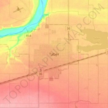
Name: Taber topographic map, elevation, terrain.
Location: Taber, Town of Taber, Alberta, T1G 1R7, Canada (49.75322 -112.18366 49.83322 -112.10366)
Average elevation: 810 m
Minimum elevation: 746 m
Maximum elevation: 840 m