
Bhimtal topographic map
Interactive map
Click on the map to display elevation.
About this map
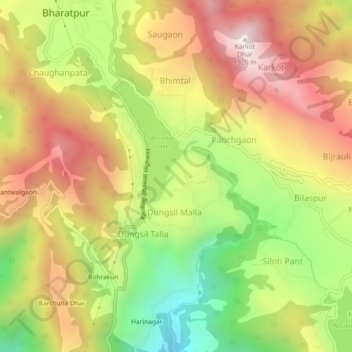
Name: Bhimtal topographic map, elevation, terrain.
Location: Bhimtal, Nainital, Uttarakhand, 263136, India (29.31960 79.54225 29.35960 79.58225)
Average elevation: 1,409 m
Minimum elevation: 871 m
Maximum elevation: 1,911 m