
Gieten topographic map
Interactive map
Click on the map to display elevation.
About this map
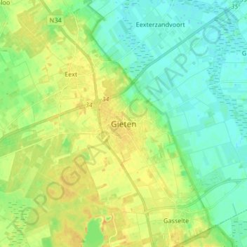
Name: Gieten topographic map, elevation, terrain.
Location: Gieten, Drenthe, Nederland, 9461, Nederland (52.96331 6.72391 53.04331 6.80391)
Average elevation: 12 m
Minimum elevation: 1 m
Maximum elevation: 27 m
Other topographic maps
Click on a map to view its topography, its elevation and its terrain.