
Terkaple topographic map
Interactive map
Click on the map to display elevation.
About this map
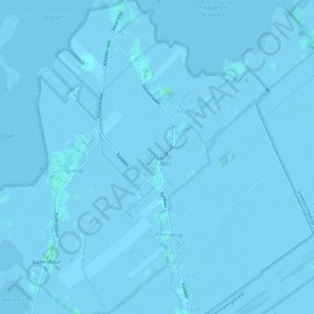
Name: Terkaple topographic map, elevation, terrain.
Location: Terkaple, De Fryske Marren, Friesland, Nederland (52.99668 5.77413 53.02780 5.81345)
Average elevation: -1 m
Minimum elevation: -6 m
Maximum elevation: 4 m