
Stuifzand topographic map
Interactive map
Click on the map to display elevation.
About this map
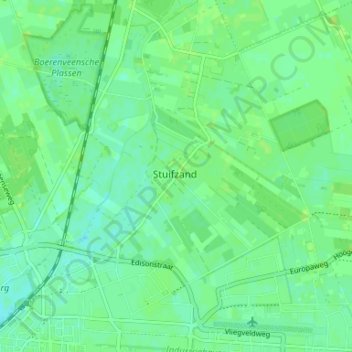
Name: Stuifzand topographic map, elevation, terrain.
Location: Stuifzand, Drenthe, Nederland, 7934, Nederland (52.72798 6.48108 52.76798 6.52108)
Average elevation: 14 m
Minimum elevation: 8 m
Maximum elevation: 18 m