
Lolodorf topographic map
Interactive map
Click on the map to display elevation.
About this map
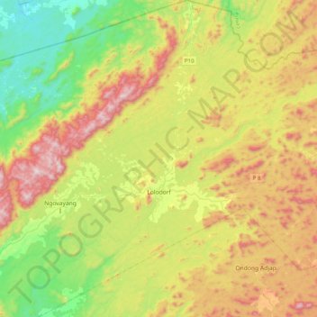
Name: Lolodorf topographic map, elevation, terrain.
Location: Lolodorf, Océan, South, Cameroon (3.07737 10.49631 3.47358 10.85636)
Average elevation: 493 m
Minimum elevation: 98 m
Maximum elevation: 1,082 m