
Worcester topographic map
Interactive map
Click on the map to display elevation.
About this map
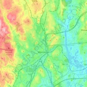
Name: Worcester topographic map, elevation, terrain.
Location: Worcester, Massachusetts, USA (42.21005 -71.88396 42.34123 -71.73121)
Average elevation: 187 m
Minimum elevation: 104 m
Maximum elevation: 369 m