
Nsama topographic map
Interactive map
Click on the map to display elevation.
About this map
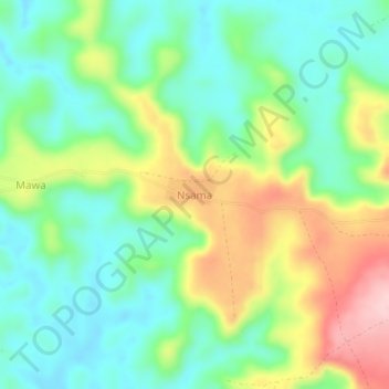
Name: Nsama topographic map, elevation, terrain.
Location: Nsama, Kwilu, DR Congo (-4.66228 18.88558 -4.62228 18.92558)
Average elevation: 488 m
Minimum elevation: 418 m
Maximum elevation: 616 m