
South Lake Tahoe topographic map
Interactive map
Click on the map to display elevation.
About this map
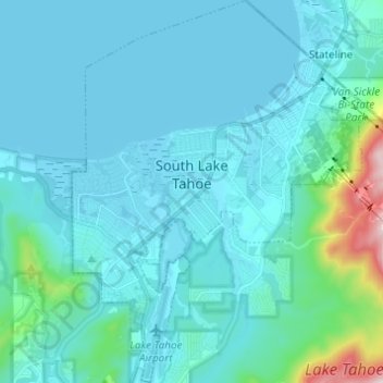
Name: South Lake Tahoe topographic map, elevation, terrain.
Location: South Lake Tahoe, El Dorado County, California, USA (38.88121 -120.02294 38.97640 -119.93220)
Average elevation: 1,980 m
Minimum elevation: 1,897 m
Maximum elevation: 2,711 m