
Kaksa topographic map
Interactive map
Click on the map to display elevation.
About this map
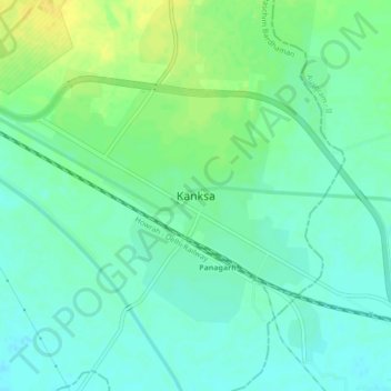
Name: Kaksa topographic map, elevation, terrain.
Location: Kaksa, Paschim Bardhaman, West Bengal, India (23.42942 87.43584 23.46942 87.47584)
Average elevation: 69 m
Minimum elevation: 60 m
Maximum elevation: 82 m