
陶村镇 topographic map
Interactive map
Click on the map to display elevation.
About this map
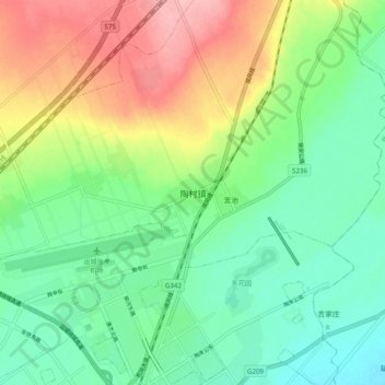
Name: 陶村镇 topographic map, elevation, terrain.
Location: 陶村镇, 盐湖区 (Yanhu), 运城, Shanxi, China (35.08980 111.01900 35.16980 111.09900)
Average elevation: 397 m
Minimum elevation: 352 m
Maximum elevation: 476 m