
Loup County topographic map
Interactive map
Click on the map to display elevation.
About this map
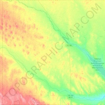
Name: Loup County topographic map, elevation, terrain.
Location: Loup County, Nebraska, 68879, États-Unis d'Amérique (41.73988 -99.68447 42.08751 -99.21981)
Average elevation: 737 m
Minimum elevation: 667 m
Maximum elevation: 840 m