
Stringtown topographic map
Interactive map
Click on the map to display elevation.
About this map
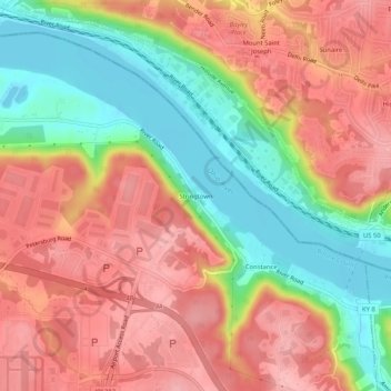
Name: Stringtown topographic map, elevation, terrain.
Location: Stringtown, Boone County, Kentucky, 45233, USA (39.06117 -84.66606 39.10117 -84.62606)
Average elevation: 215 m
Minimum elevation: 139 m
Maximum elevation: 276 m