
Raam topographic map
Interactive map
Click on the map to display elevation.
About this map
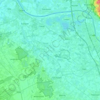
Name: Raam topographic map, elevation, terrain.
Location: Raam, Mill, Land van Cuijk, Noord-Brabant, Nederland (51.65106 5.73009 51.77205 5.89013)
Average elevation: 13 m
Minimum elevation: 5 m
Maximum elevation: 66 m