
Lufupa River topographic map
Interactive map
Click on the map to display elevation.
About this map
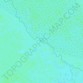
Name: Lufupa River topographic map, elevation, terrain.
Location: Lufupa River, North-Western Province, Zambia (-14.29717 25.95288 -14.29579 25.95722)
Average elevation: 1,095 m
Minimum elevation: 1,092 m
Maximum elevation: 1,098 m
Other topographic maps
Click on a map to view its topography, its elevation and its terrain.
North-Western Province
Zambia > North-Western Province
North-Western Province, Zambia
Average elevation: 1,200 m
Dongwe
Zambia > North-Western Province
Dongwe, North-Western Province, Zambia
Average elevation: 1,161 m
Mwafwe River
Zambia > North-Western Province
Mwafwe River, North-Western Province, Zambia
Average elevation: 1,159 m