
Mulu topographic map
Interactive map
Click on the map to display elevation.
About this map
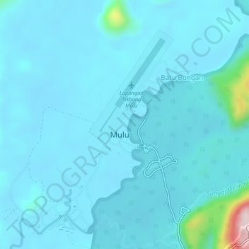
Name: Mulu topographic map, elevation, terrain.
Location: Mulu, Sarawak, Malaysia (4.02605 114.78939 4.06605 114.82939)
Average elevation: 48 m
Minimum elevation: 14 m
Maximum elevation: 462 m