
Drumcarban ED topographic map
Interactive map
Click on the map to display elevation.
About this map
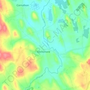
Name: Drumcarban ED topographic map, elevation, terrain.
Location: Drumcarban ED, Leam, County Cavan, Ireland (53.90933 -7.48904 53.94933 -7.44904)
Average elevation: 72 m
Minimum elevation: 45 m
Maximum elevation: 123 m