
Shaftesbury topographic map
Interactive map
Click on the map to display elevation.
About this map
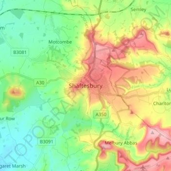
Name: Shaftesbury topographic map, elevation, terrain.
Average elevation: 135 m
Minimum elevation: 54 m
Maximum elevation: 269 m
Other topographic maps
Click on a map to view its topography, its elevation and its terrain.
Cann Common
United Kingdom > England > Shaftesbury > Cann Common
Cann Common, Cann, Shaftesbury, Dorset, South West England, England, SP7 0DJ, United Kingdom
Average elevation: 170 m