
Güneşli topographic map
Interactive map
Click on the map to display elevation.
About this map
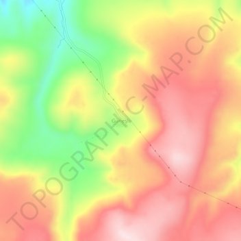
Name: Güneşli topographic map, elevation, terrain.
Location: Güneşli, Tekman, Erzurum, Eastern Anatolia Region, Turkey (39.55893 41.58531 39.59893 41.62531)
Average elevation: 2,151 m
Minimum elevation: 1,930 m
Maximum elevation: 2,311 m