
Pasir Ris Town Park topographic map
Interactive map
Click on the map to display elevation.
About this map
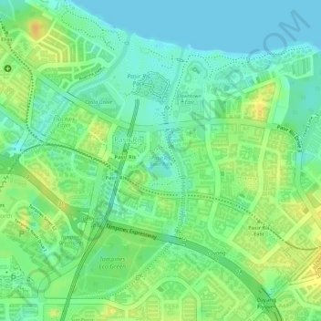
Name: Pasir Ris Town Park topographic map, elevation, terrain.
Location: Pasir Ris Town Park, Pasir Ris, Northeast, 519500, Singapore (1.36946 103.95070 1.37488 103.95399)
Average elevation: 14 m
Minimum elevation: -1 m
Maximum elevation: 30 m
Other topographic maps
Click on a map to view its topography, its elevation and its terrain.
Sungei Tampines
Sungei Tampines, Tampines, Northeast, 520622, Singapore
Average elevation: 18 m
Bedok Reservoir
Bedok Reservoir, Bedok, Northeast, Singapore
Average elevation: 23 m
Lorong Halus
Lorong Halus, Pasir Ris, Northeast, Singapore
Average elevation: 6 m