
Fuller Lake topographic map
Interactive map
Click on the map to display elevation.
About this map
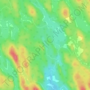
Name: Fuller Lake topographic map, elevation, terrain.
Average elevation: 77 m
Minimum elevation: 47 m
Maximum elevation: 117 m
Other topographic maps
Click on a map to view its topography, its elevation and its terrain.
Musquodoboit River
Canada > Nova Scotia > Musquodoboit Harbour
Musquodoboit River, Musquodoboit Harbour, Halifax Regional Municipality, Halifax County, Nova Scotia, Canada
Average elevation: 40 m