
Garfield Ridge topographic map
Interactive map
Click on the map to display elevation.
About this map
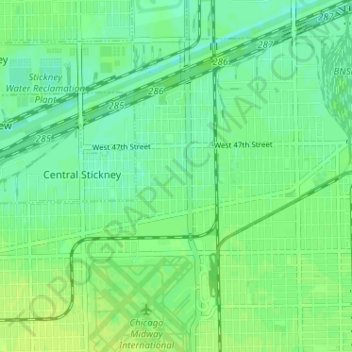
Name: Garfield Ridge topographic map, elevation, terrain.
Location: Garfield Ridge, Chicago, Cook County, Illinois, USA (41.78469 -87.80166 41.82210 -87.73764)
Average elevation: 184 m
Minimum elevation: 177 m
Maximum elevation: 190 m
Other topographic maps
Click on a map to view its topography, its elevation and its terrain.
North Park Village Nature Center
North Park Village Nature Center, 5801, North Pulaski Road, North Park, Chicago, Cook County, Illinois, 60646, USA
Average elevation: 185 m
Kosciuszko Park
Kosciuszko Park, Beat 2524, Chicago, Cook County, Illinois, USA
Average elevation: 184 m
Canal Origins Park
Canal Origins Park, Locks, Pilsen, Chicago, Cook County, Illinois, USA
Average elevation: 181 m
Eden Place Nature Center
Eden Place Nature Center, Fuller Park, Chicago, Cook County, Illinois, USA
Average elevation: 183 m