
Djérem topographic map
Interactive map
Click on the map to display elevation.
About this map
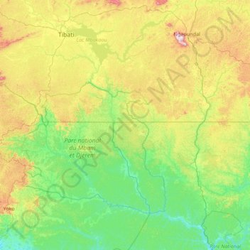
Name: Djérem topographic map, elevation, terrain.
Location: Djérem, Lom-et-Djérem, Centre, Cameroon (5.32213 12.75403 6.64736 13.54288)
Average elevation: 814 m
Minimum elevation: 631 m
Maximum elevation: 1,377 m
Other topographic maps
Click on a map to view its topography, its elevation and its terrain.