
Teigh topographic map
Interactive map
Click on the map to display elevation.
About this map
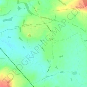
Name: Teigh topographic map, elevation, terrain.
Location: Teigh, Rutland, East Midlands, England, United Kingdom (52.72132 -0.75392 52.74568 -0.70424)
Average elevation: 107 m
Minimum elevation: 88 m
Maximum elevation: 145 m