
Đà Nẵng topographic map
Interactive map
Click on the map to display elevation.
About this map
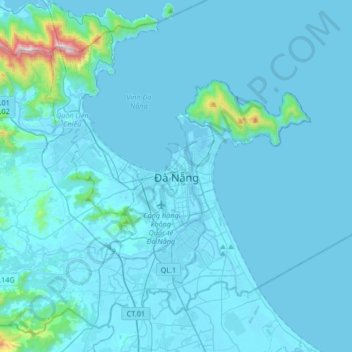
Name: Đà Nẵng topographic map, elevation, terrain.
Location: Đà Nẵng, Thanh Khê District, Da Nang, 236, Vietnam (15.90800 108.05200 16.22800 108.37200)
Average elevation: 52 m
Minimum elevation: -2 m
Maximum elevation: 1,143 m