
Cabinet topographic map
Interactive map
Click on the map to display elevation.
About this map
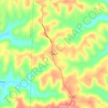
Name: Cabinet topographic map, elevation, terrain.
Location: Cabinet, Belmont County, Ohio, 43983, USA (40.09812 -81.23705 40.13812 -81.19705)
Average elevation: 342 m
Minimum elevation: 279 m
Maximum elevation: 406 m