
Eustatia Island topographic map
Interactive map
Click on the map to display elevation.
About this map
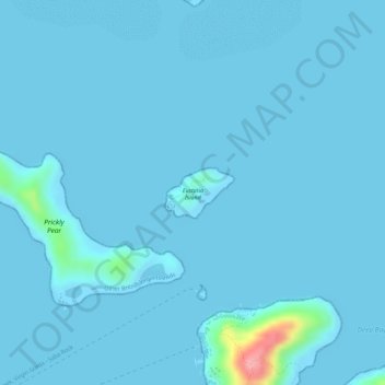
Name: Eustatia Island topographic map, elevation, terrain.
Location: Eustatia Island, Leverick Bay, British Virgin Islands (18.50856 -64.36054 18.51209 -64.35542)
Average elevation: 5 m
Minimum elevation: -1 m
Maximum elevation: 127 m