
Belterwijde topographic map
Interactive map
Click on the map to display elevation.
About this map
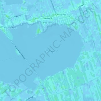
Name: Belterwijde topographic map, elevation, terrain.
Average elevation: 0 m
Minimum elevation: -3 m
Maximum elevation: 6 m
Other topographic maps
Click on a map to view its topography, its elevation and its terrain.
Nationaal Park Weerribben-Wieden
Nederland > Overijssel > Steenwijkerland
Nationaal Park Weerribben-Wieden, Overijssel, Nederland
Average elevation: 1 m
Baarlo
Nederland > Overijssel > Steenwijkerland
Baarlo, Steenwijkerland, Overijssel, Nederland
Average elevation: 0 m