
Mountains topographic map
Interactive map
Click on the map to display elevation.
About this map
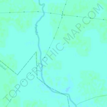
Name: Mountains topographic map, elevation, terrain.
Location: Mountains, Kānpur, Kanpur Dehat, Uttar Pradesh, India (26.75541 79.95708 26.75551 79.95718)
Average elevation: 135 m
Minimum elevation: 133 m
Maximum elevation: 137 m
Other topographic maps
Click on a map to view its topography, its elevation and its terrain.
Varanasi
India > Uttar Pradesh > Sadar
Varanasi, Sadar, Varanasi District, Uttar Pradesh, 221001, India
Average elevation: 77 m
Chandan Chowky
India > Uttar Pradesh > Chandan Chowky
Chandan Chowky, Kheri, Uttar Pradesh, India
Average elevation: 159 m
Noida
India > Uttar Pradesh > Dadri
Noida, Dadri, Gautam Buddha Nagar District, Uttar Pradesh, 201301, India
Average elevation: 216 m