
Izgrev topographic map
Interactive map
Click on the map to display elevation.
About this map
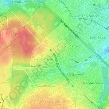
Name: Izgrev topographic map, elevation, terrain.
Location: Izgrev, Sofia City, Sofia-City, Bulgaria (42.65747 23.33609 42.68344 23.36788)
Average elevation: 578 m
Minimum elevation: 545 m
Maximum elevation: 612 m