
Sungai Siput topographic map
Interactive map
Click on the map to display elevation.
About this map
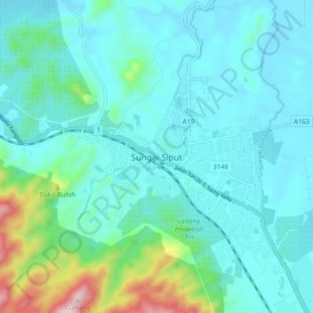
Name: Sungai Siput topographic map, elevation, terrain.
Location: Sungai Siput, Perak, 31100, Malaysia (4.77957 101.03235 4.85957 101.11235)
Average elevation: 150 m
Minimum elevation: 59 m
Maximum elevation: 617 m